AURA’s Google Maps Platform navigation upgrade: Better routing for every response
In a global first, AURA is the first response platform to be authorised to use Google Maps Platform navigation for emergency services. This major upgrade brings enhanced ETA accuracy, responder navigation, and live visibility across the full response journey. The update helps teams route, track, and coordinate on-the-ground response with greater confidence using navigation technology developed with Google Maps Platform.
When someone activates a panic button or triggers an alarm, the question that matters most is simple: when will help arrive?
That answer needs to be accurate. It needs to reflect real-world traffic, road conditions, responder location, and the route being taken. It also needs to be trusted by everyone involved, from the person waiting for help to the responder on the road and the control centre team coordinating the callout.
As Grant Macwilliam, Chief Technology Officer at AURA, explains:
“AURA uses mapping data, navigation services, and real-world data to augment its decision-making in any emergency dispatch. This includes everything from determining who the most eligible responder for an emergency is, to navigating them to a particular location, and providing updates around the estimated time of arrival the entire way through.”
Why mapping is core to AURA’s response platform
Fast response depends on much more than simply dispatching the closest responder.
AURA’s platform needs to understand where responders are, what routes are available, how traffic is moving, and how long it will realistically take someone to reach the scene. That information helps the platform make better dispatch decisions and provide more useful updates throughout the response journey.
As Grant says:
“Mapping is such a core part of our unique service, and we’ve now chosen to replace our existing technology with the best-in-class tooling available from Google.”
AURA has integrated Google Maps Platform navigation capabilities into its responder experience, helping bring in-app navigation, route information and ETA updates into closer alignment. This gives users, responders, partners and control centre teams a more consistent view of what is happening on the ground.
For someone waiting for help, this matters because an ETA is not just a number. It is reassurance. It tells them help has been dispatched, where that help is, and when it is expected to arrive.
Grant explains:
“When someone is in an emergency, it’s often the lowest point of their day, sometimes of their life. And in that moment, only a couple of questions really matter, and one of them is: when is help going to get here?”
The product challenge: Closing the gap between expectation and reality
Historically, the ETA calculated at dispatch and the route a responder actually drove could be powered by separate systems. In most cases, those systems aligned. But real-world conditions can change quickly. Heavy traffic, road closures, peak-hour congestion, or local routing differences can create a gap between the ETA shown to the user and the time it actually takes for a responder to arrive.
That gap affects everyone.
For the person waiting, an ETA that drifts can create uncertainty. For responders, it can mean being measured against timelines that do not fully reflect what is happening on the road. For control centre teams, it can create extra work as they reconcile map data, responder updates, and user communication.
Grant describes the challenge clearly:
“The product challenge here comes down to consistency.”
He adds:
“Our goal around bringing this update to our platform was to introduce a single source of truth that we can really trust.”
That single source of truth is central to this update. AURA is aligning routing, navigation, ETA calculations, and live response visibility around one trusted mapping engine. This helps everyone involved in the incident work from the same version of reality.
“Whatever the conditions are out there in the real world, everyone should now be on the same page with the same version of reality.”
How the new responder navigation experience benefits the AURA ecosystem
One of the most important parts of this update is that it improves the experience for every major group in AURA’s ecosystem: responders, users, partners, and control centre teams.
For responders: More familiar navigation and fairer performance metrics
Responders now have turn-by-turn navigation embedded directly within the AURA responder app, developed using the Google Maps Platform Navigation SDK. This means they can use a familiar navigation experience without leaving the workflow they already know.
Grant explains:
“Within our Responder app, the navigation, even though it was turn-by- turn before, is now an experience that they are really familiar with. It’s snappy, it’s more accurate, and the rerouting that happens is a lot more seamless.”
This helps responders spend less time dealing with congestion and more time focusing on getting to the scene quickly and safely.
It also supports fairer performance measurement. If responders are being assessed against ETA-related metrics, those timelines should reflect real-world traffic conditions as accurately as possible.
For users: Clearer visibility while waiting for help
For the person waiting for help, the benefit is simple: they can see where help is and have a more trusted view of when it will arrive.
In an emergency, this visibility can reduce uncertainty. It can also help someone decide what to do while waiting, whether that means moving to a safer place, helping someone nearby, or updating a loved one.
As Grant says:
“When you can see where your responder is and you know exactly when they’re going to reach you, and that is a trusted number, you’re no longer waiting in the dark.”
For partners: More accurate response-time data
For AURA’s enterprise partners, response-time data is a key part of measuring service delivery and customer outcomes.
This upgrade strengthens the accuracy of this data by aligning ETA calculations more closely with real-world driving conditions. This supports stronger reporting, clearer oversight, and more confidence in how emergency response performance is measured.
Grant puts it this way:
“The response time data is the foundation for how they measure us, and we’ve always been super transparent about that. Making that data even more accurate than it’s ever been is only a benefit for being open and honest about how well we perform.”
For control centre teams: One clearer view of the response journey
AURA’s control centre teams coordinate live incidents where speed, clarity, and accuracy all matter.
With navigation and ETA information supported by Google Maps Platform, control centre teams, responders and users can work from a more consistent view of the incident.
The route, ETA and responder journey can be monitored with greater clarity, helping teams coordinate the response and communicate more effectively.
Grant sums up the operational value:
“Everyone sharing one picture, coordination becomes faster. In our world, coordination means help arrives sooner.”
Why AURA chose Google Maps Platform for its responder navigation experience
AURA is a first-of-its-kind platform for emergency and security response services, built to operate across diverse environments — from highways in the United States to urban roads, rural routes, and township roads in South Africa.
As AURA scales, the platform needs mapping infrastructure that performs consistently across regions, road networks, and traffic conditions.
For Grant, Google Maps Platform was the right choice for two reasons: data quality and user experience.
“Google Maps is the global standard for live traffic and routing accuracy. They have unbelievable coverage across the entire world and in regions that we operate in.”
The second reason is familiarity. Responders already understand the Google Maps navigation experience, which helps make the update easier to adopt in the field.
“Our responders will get that world-class navigation feel without having to leave the tool that they are familiar with and without having to change their workflow at all.”
That combination of global coverage, live traffic intelligence, routing accuracy, and familiar in-app navigation made Google Maps the right mapping platform for AURA’s next stage of growth.
To bring this vision to life, AURA partnered with Localyse, a market-leading Google Maps Premier Partner. True to their slogan, "We put your location data to work," Localyse played a crucial role in navigating the technical and licensing landscape to make this integration possible.
Jeffrey Benning, Google Maps Evangelist at Localyse, shares the enthusiasm behind this collaboration:
"I am extremely enthusiastic about this fantastic use case in combination with Google Maps. To make this unique emergency response use case eligible, we facilitated discussions up to the highest executive levels at Google in the USA. We are incredibly proud that through our mutual persistence and fast-paced communication, we helped AURA secure the best-in-class mapping tools needed to save lives and improve response times globally."
How this update strengthens AURA’s response platform
The upgrade reflects where AURA’s product is heading: towards greater precision, stronger visibility, and a more connected response experience.
AURA’s platform already connects people and properties to nearby responders through a live response network. As that network grows, the technology behind it needs to support faster coordination, clearer data, and more consistent experiences across markets.
This update helps AURA narrow the gap between expectation and reality.
It supports:
More accurate ETA calculations
More familiar responder navigation
Fairer performance measurement
Stronger partner reporting
Better control centre coordination
Greater reassurance for users waiting for help
As Grant says:
“Accuracy and transparency have always been a core part of our services, and with this update, we’re looking to narrow the gap between expectation and reality.”
Trust is built in the moments that matter most
AURA’s new responder navigation experience, developed with Google Maps Platform, strengthens that trust by supporting more accurate ETA information, familiar responder navigation and a more consistent view of the response journey.
For users, this means greater reassurance while waiting for help. For responders, it means better routing and fairer timelines. For partners and control centre teams, it means stronger visibility and more accurate data.
By investing in better mapping and navigation infrastructure, AURA is continuing to build a faster, smarter, and more transparent response platform at scale.
Lindsay Campbell
Senior Marketing Manager
FAQs
Everything you need to know about AURA's navigation upgrade
What is AURA’s Google Maps Platform navigation upgrade?
AURA’s navigation upgrade is a new responder experience developed with Google Maps Platform.
It brings turn-by-turn navigation into the AURA responder app using the Google Maps Platform Navigation SDK and supports more consistent route and ETA information across the response journey.
As part of the rollout, AURA worked with Localyse to support the implementation of the relevant Google Maps Platform products within an emergency response environment.
Why does ETA accuracy matter in emergency response?
ETA accuracy matters because people need reliable information when waiting for help. A more accurate ETA can reduce uncertainty, support better decision-making, and give users greater confidence that help is on the way.
How does the upgrade developed with Google Maps Platform help responders?
Responders get familiar Google Maps Platform-powered turn-by-turn navigation inside the AURA responder app. This helps them navigate more confidently, respond to real-world traffic conditions, and work with more realistic travel-time expectations.
How does the update help AURA’s partners?
AURA’s partners rely on response-time data to understand service delivery and customer outcomes. More accurate ETA and routing data supports stronger reporting, better visibility, and more confidence in response performance.
Is this update available in all AURA regions?
The navigation upgrade developed with the Google Maps Platform is being rolled out across AURA’s operating regions, including South Africa, Kenya, the United Kingdom, and the United States.
Smarter navigation. More trusted response.
AURA is continuing to improve how help is dispatched, tracked and coordinated across every response.
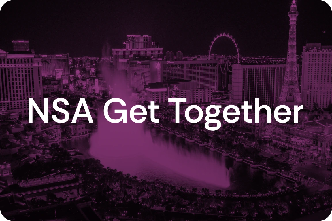
Join AURA at the Nevada Security Association in Las Vegas on October 28 for its annual Industry Get Together & Youth Scholarship Fundraiser.
United States
United States
•
November 18-19, 2026
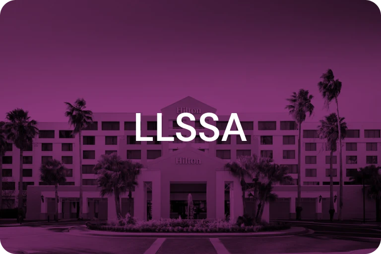
LLSSA Convention
Meet AURA at the LLSSA 2026 Convention in Kenner and discover a new way to grow recurring monthly revenue from the accounts you already serve.
United States
United States
•
October 21-23, 2026
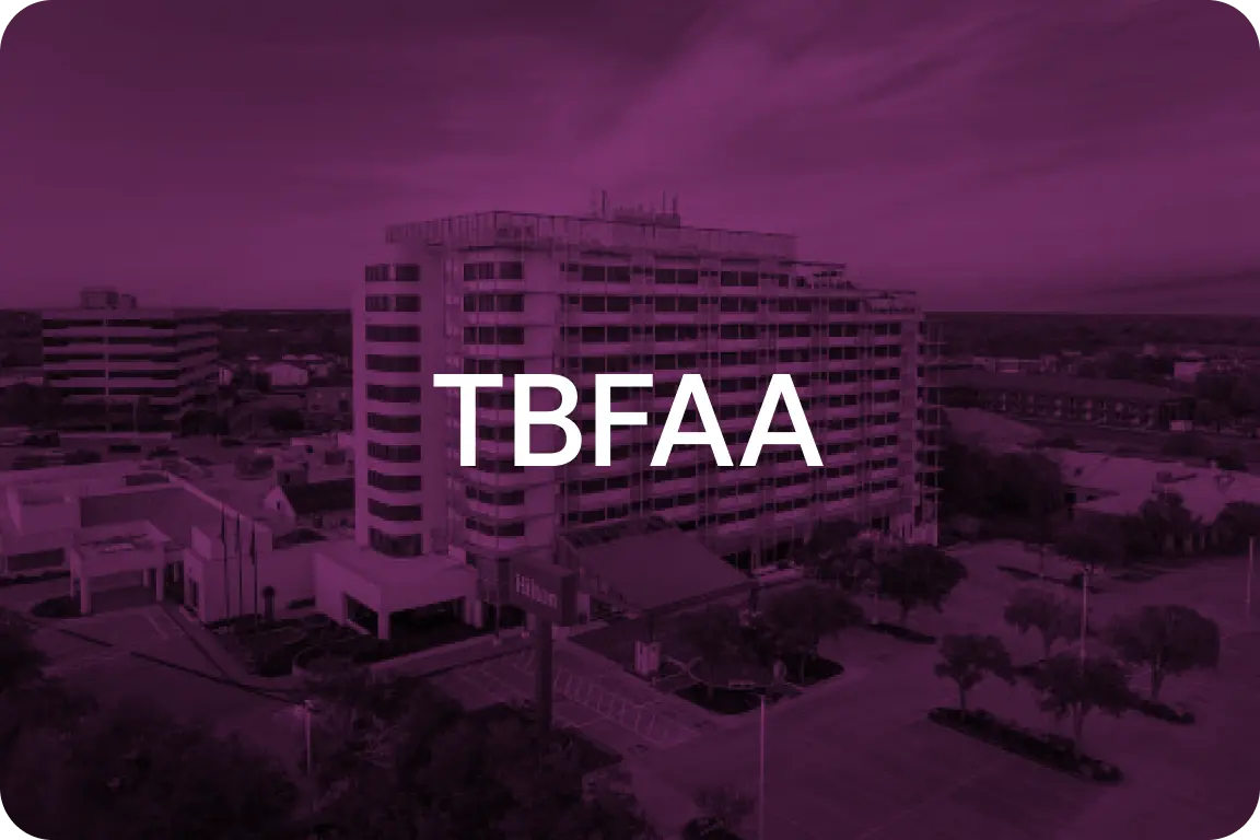
TBFAA Convention & Trade Show 2026
Meet AURA at the TBFAA Convention & Trade Show in College Station and explore how on-demand guard response can help you grow recurring monthly revenue from the accounts you already serve.





.webp)


.webp)



.svg)

.svg)
.svg)
.svg)
.svg)